Contour
Designv1.0.0Contour lines — a seeded heightfield's level sets, terrain-map style.
Topographic level lines: a seeded heightfield cut at evenly spaced levels, the terrain-map look as pure line art.
What it is
Where flowfield draws a noise field’s gradient as streamlines, this draws its level sets: fractal value noise sampled on a grid, marching squares at each iso-level, segments chained into contour lines — nested closed loops around the peaks and hollows, open lines running off the page edge.
The implementation’s guarantees
- Interior contours close, always: an open contour that dangles mid-page is a chaining bug, and the test says so directly. Chaining is by exact endpoint equality (marching squares interpolates shared edges to identical points), not tolerance fudging.
- Tiny summit rings are culled, and the cull is reported: a 4 mm² peak
ring fails the colourability area floor and survives every level-thinning
attempt — the same peak just gets re-cut — so closed loops under the floor
are dropped at compose time and counted in
culled_below_area_floor. - The escalation lever is level count (fewer isolines, more white space); the noise is self-contained value noise, seeded and octaved, because generator crates never share code.
- Rating basis: none — a design. Honesty fields: contour counts (closed vs open-at-edge), levels, cull count, attempt.
More designs
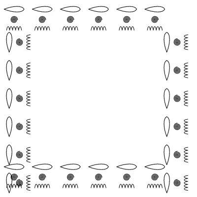
Border
Ornamental borders — the seven frieze groups over the motif library
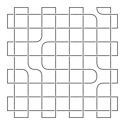
Celtic Plait
An interlaced plait: cords passing over and under, with cells that turn them back
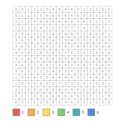
Colour by Number
Colour by number — a numbered grid that colours into a symmetric design
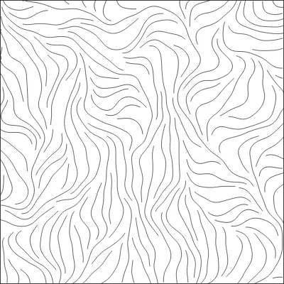
Flow Field
Evenly spaced streamlines through a noise field